3D imaging is a transformative tool, offering us detailed and accurate representations of geological features and structures. By creating high-resolution three-dimensional models, we can better visualize, analyze, and interpret complex formations and processes, and transfer to objects, and improved design of infrastructure or modelling.
Our 3D lab enhances the understanding of spatial relationships and geometries of volcanoes, rock units, fault systems, and deposits, which is crucial for applications ranging from resource exploration to natural hazard assessment. Moreover, our 3D imaging facilitates allow precise measurements and construction designs required for instrumentations and simulations.
The ability to visualize and interact with geological data in three dimensions significantly advances research, education, and practical applications in the geosciences.
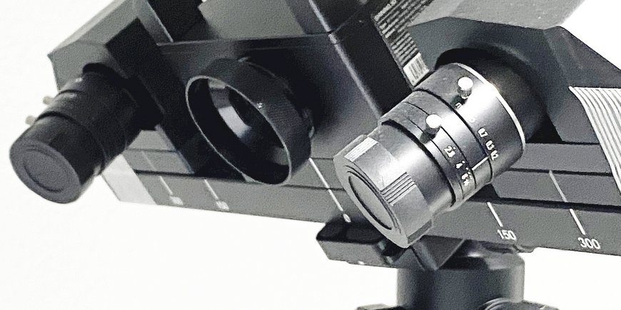
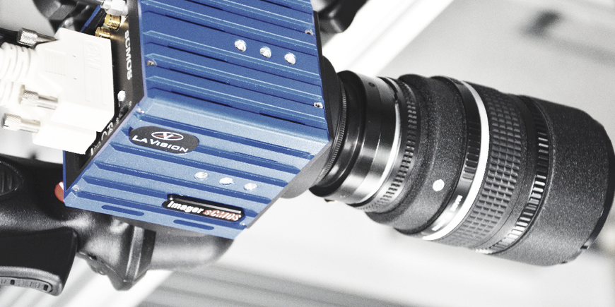
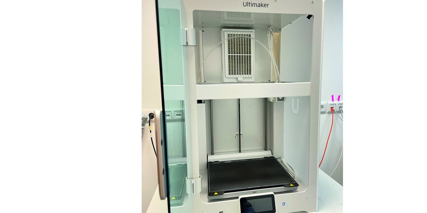
To this aim we are working in our lab with cameras and scanners, and a 3D-printer.


