

Background
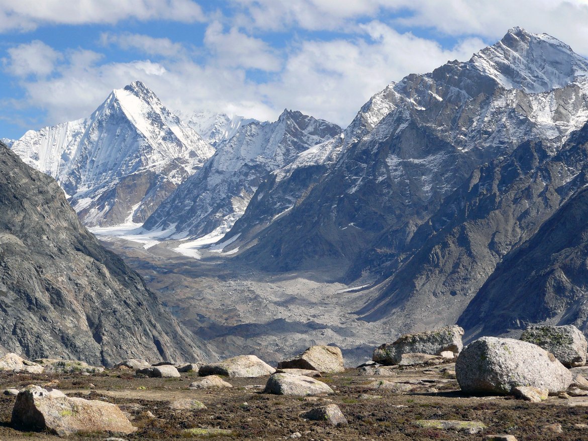
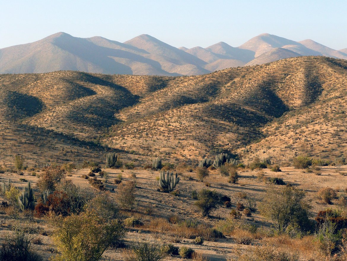
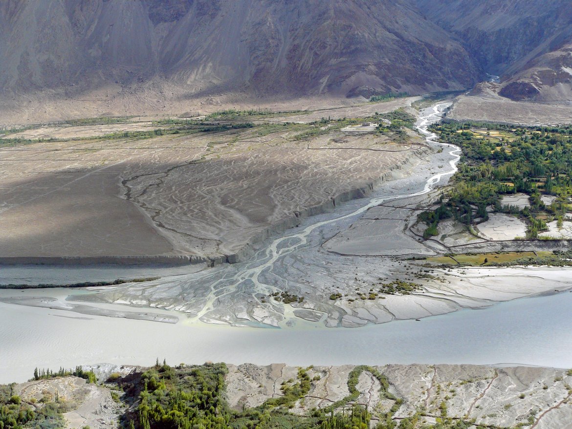
The Earth Surface presents itself in a variety of landscapes that reflect the complex interaction of climate, biota, and tectonics, typically integrated over thousands to millions of years. Therefore, landscapes are valuable archives that record their evolution in many different ways. For example, a climate-induced change in streamflow affects the sediment transport capacity of rivers and leads to either aggradation or incision. Similarly, an increase in soil erosion due to human land use may overwhelm rivers with sediment and force them to aggrade. In all climate zones on Earth, landscapes store evidence of such changes in the form of deposits, landscape form, or isotopic fingerprints. We investigate these archives to reconstruct the response of landscapes to changes in climate and biota, or to tectonic events, and to test and calibrate mathematical models that allow us to predict how the landscapes we live in will respond to anthropogenic climate and land use change. We do that by investigating rock, soil, and sediment samples that allow us to constrain the rates of erosion and weathering processes and the timing of landscape changes.
Scientific key questions
- How do landscapes respond to changes in climate and biota or tectonic events?
- How variable are erosion and weathering rates at different time scales?
- How can we best reconstruct landscape evolution?
Related projects
- Biota, fractures, thresholds: Emergent self-organization in landscape evolution? | EarthShape BIOFRESH
- Climate sensitivity of glacial landscape dynamics | COLD
- The coupled vegetation, weathering, erosion, and sediment-export response to climate change unravelled from novel proxies in Chilean marine sediment | SECCO
- Himalayan Paleo-Erosion Rates during the Plio-Pleistocene Climatic Transitions | HIPER
- Quantifying the Response of Rapidly Eroding Landscapes to Climate Change with Cosmogenic Nuclides | QUARREL
- Biotic Controls on Erosion and Sediment Transport in the Chilean Coastal Cordillera | EarthShape BIOCREST