


Large parts of Iran are affected by groundwater loss and land subsidence. This is shown by a study by Mahmud Haghshenas Haghighi and Mahdi Motagh, which has just been published in the journal Science Advances. The two authors from Leibniz University Hannover and the GFZ German Research Centre for Geosciences evaluated data from radar satellites to quantify the extent of ground subsidence. The comparison with geological maps, information on groundwater reservoirs and data from the GRACE satellite mission reveals a concerning trend: numerous Iranian provinces face the growing risk of irreversible depletion and damages to their groundwater reservoirs, with some of them potentially facing permanent loss.
Kerman Province in the south-east of the country, in particular, is experiencing dramatic subsidence rates. “The Rafsanjan district in the Province of Kerman is Iran's center of pistachio production, and there we measured alarming subsidence rates, at locations exceeding 35 centimeters per year,” says Mahdi Motagh, Working Group Leader in GFZ-Section 1.4 “Remote Sensing and Geoinformatics” and Professor at the Institute of Photogrammetry and Geoinformation, Leibniz University Hannover, where lead author Dr Mahmud Haghshenas Haghighi is researcher. They used Interferometric Synthetic Aperture Radar (InSAR), to measure the subsidence. “Using more than 6,000 Sentinel-1 images from the period between 2014 and 2020, we created a subsidence map with an unprecedented resolution of 100 meters for the whole of Iran,” says Motagh.
A groundwater crisis has been looming for years in this country of around 84 million people. By combining satellite data with various geological and hydrogeological observations, an unsustainable annual loss of 1.7 billion cubic meters (BCM) of groundwater has been estimated for Iran. The magnitude of this loss poses a significant challenge, as replenishing such volumes of groundwater could take hundreds or even thousands of years, if even possible at all.
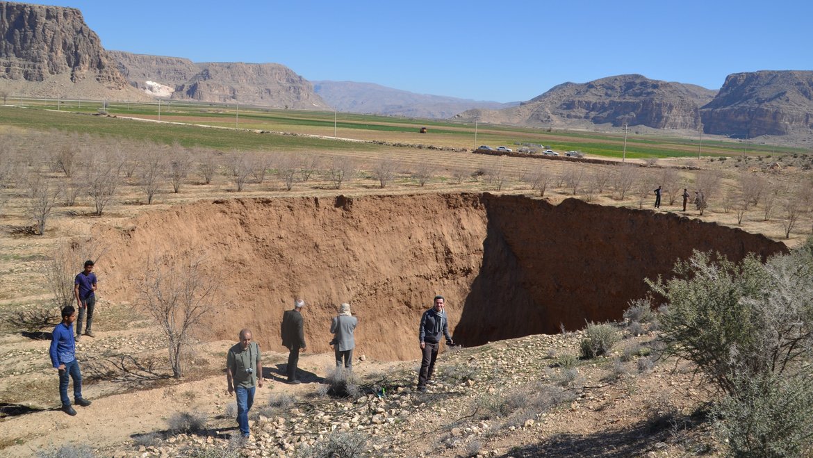
According to the authors, the primary factor contributing to this huge loss is the unsustainable irrigated agriculture, compounded by influences from population growth and the industrialization of Iran. Mahdi Motagh says: “The unsustainable extraction of groundwater has unfortunately become commonplace.” Land subsidence, which is a visible sign of aquifer compaction, is occurring across the country. Around 3.5 percent of Iran's land area is affected by this problem, affecting millions of people and key infrastructure such as airports and railroads. In provinces such as Tehran, Isfahan, Kerman and Khorasan Razavi, more than a quarter of the population live in areas that are at risk of subsidence to varying degrees. “The subsidence rates of tens of centimeters per year measured across provinces like Kerman, Tehran, Alborz, Fars and Khorasan Razavi rank among the highest in the world”, says Mahmud Haghshenas Haghighi.
The two authors emphasize: “This comprehensive analysis underlines the urgent need for immediate action and the implementation of a coherent groundwater policy. Such a policy is crucial for addressing Iran's groundwater crisis and tackling the water deficit.”
Original Study:
Mahmud Haghshenas Haghighi, Mahdi Motagh, Uncovering the impacts of depleting aquifers: A remote sensing analysis of land subsidence in Iran.Sci. Adv.10, eadk3039(2024). DOI: 10.1126/sciadv.adk3039

