
Scientific support of the hyperspectral satellite mission - EnMAP
Funding by: Federal Ministry for Economic Affairs and Climate Actions
Funding ID: 50EE2401A
Project Developer: DLR Space Administration
Funding period: 2024-2026
Project partners: Humboldt Innovation GmbH I AWI Bremerhaven I LMU München
![[Translate to English:] Schriftzug Bundesministerium für Wirtschaft und Klimaschutz](/fileadmin/_processed_/7/1/csm_BMWi_Fz_2017_Office_Farbe_de__002__0ad282bc79.webp)
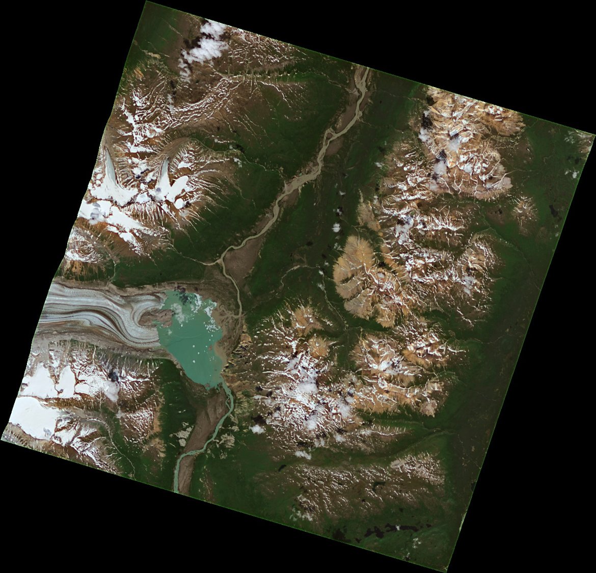
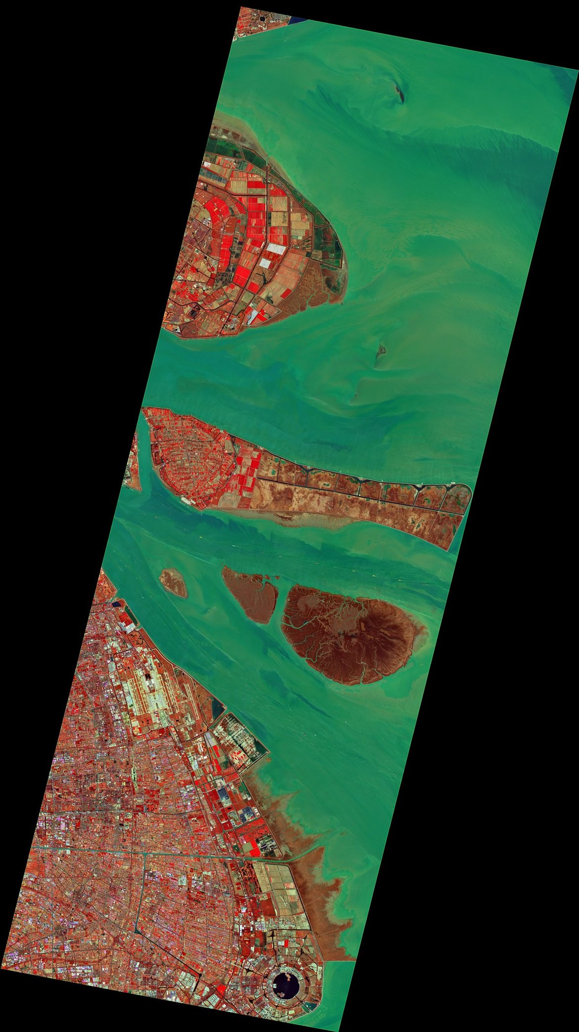
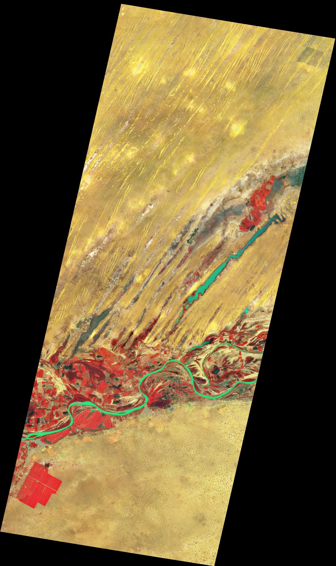
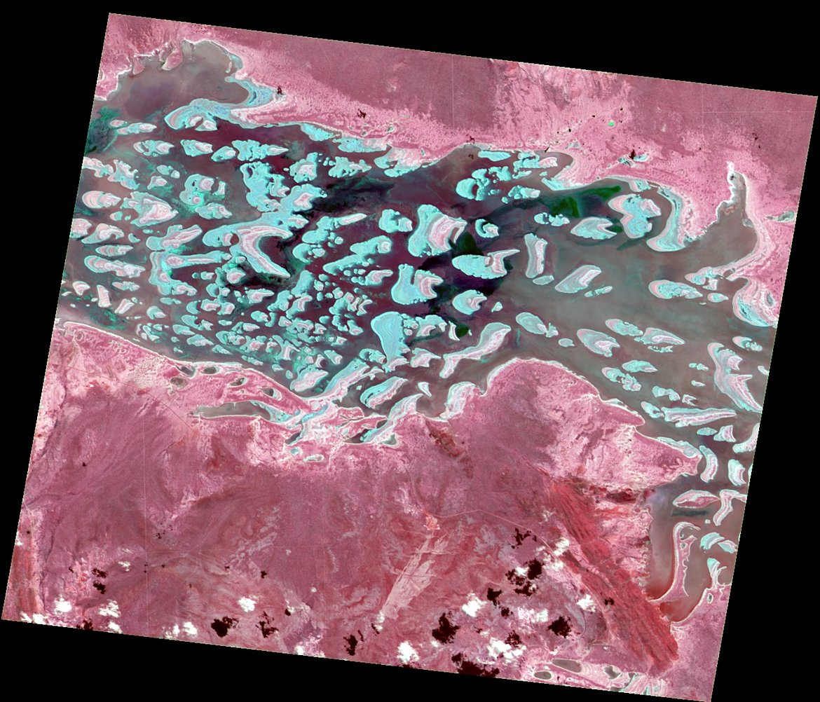
The Environmental Mapping and Analysis Program (EnMAP) is a German hyperspectral satellite mission that monitors and characterizes the Earth’s environment on a global scale. The primary goal of EnMAP is to provide accurate diagnostic information on the state and evolution of terrestrial and aquatic ecosystems. It allows to study environmental changes and ecosystem responses to human activities in various fields such as agriculture and forestry, geology and soils, urban areas, coastal and inland waters.
EnMAP records the Earth's surface with a ground sampling distance (GSD) of 30 m x 30 m with a daily capacity of up to 5000 km per day. It measures in the 420-2450 nm spectral range by means of two separate spectrometers in the visible to near-infrared (VNIR) and short-wave infrared (SWIR) spectral regions in more than 240 contiguous bands. The mean spectral sampling distance and resolution is 4.7 nm in the VNIR, and 8.4 nm in the SWIR. Accurate radiometric and spectral responses are guaranteed by a defined signal-to-noise ratio (SNR) of ≥ 343:1 (@495 nm & SSD 4.7 nm) in the VNIR and ≥ 137:1 (@2200 nm & SSD 8.4 nm) in the SWIR, a radiometric calibration accuracy better than 5% and a spectral linear displacement of a detector element < 20 %. EnMAP‘s revisit time for any site on Earth is 27 days in nadir-view, or every four days with its across-track 30° pointing capability.
The satellite system was developed in Germany under the management of the Space Administration of the German Aerospace Center (DLR) in Bonn. The German Research Centre for Geosciences (GFZ) in Potsdam is the science Principal Investigator and coordinates the EnMAP Science Advisory Group (EnSAG). OHB System AG was responsible for the design and construction of the EnMAP instrument and its satellite platform. The ground segment, responsible for satellite control, data acquisition and archiving, is realized by DLR in Oberpfaffenhofen. The phase 2024-2026 covers the scientific mission support during the operational phase which includes a scientific program comprising of research in various application fields, the maintenance and further development of software tools for hyperspectral data analysis, product validation as well as a range of training and community building activities.
Project partners
- Humboldt Innovation GmbH
- AWI Bremerhaven
- LMU München
Links
GFZ contributions
- EnMAP Geological Mapper (EnGeoMap)
- EnMAP Soil Mapper (EnSoMAP)
- EnMAP educational resources on imaging spectroscopy (HYPERedu)
- EnMAP end-to-end simulation tool (EeteS)
- EnMAP processing Tool (EnPT)
- Sensor Independent Atmospheric Correction (SICOR)
- EnMAP product validation (EnVAL)
- EnMAP Snow Mapper (EnSnowMAP)
Publications
- Link to EnMAP publications