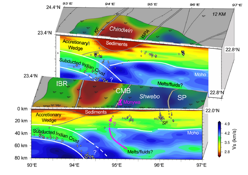
Lithosphere scale imaging with seismic waves
Seismology allows imaging the interior of the Earth with a resolution unmatched by any other method. For example, long term seismological records and data from dense temporary deployments allow seismologists to map the variation of crustal and lithospheric thickness below the continents. Tomographic images of the Earth's interior provide a snapshot of the convection system of the mantle and how it interacts with the processes visible at the surface. Mapping seismic anisotropy through shear wave splitting and other means allows seismologists to map the lithospheric and asthenospheric strain fields. These observations are the prime means by which we can gauge the quality of geodynamic models.
Building on a solid understanding of the physics of wave propagation, scientists of the group are engaged in the development of computational tools for the efficient analysis of seismic data, and are interpreting their observations in terms of their geodynamic and seismotectonic implications. Methods include, but not limited to:
– Imaging of seismic velocity discontinuities in the crust and upper mantle using converted and reflected waves (P- and S-receiver functions, SS precursors);
– Tomography with body waves from teleseismic and local earthquakes;
– Tomography with surface waves from earthquakes and ambient noise;
– Full waveform tomography;
– Determination of seismic anisotropy using shear wave splitting and surface wave tomography.
For several methods we are implementing and applying Bayesian approaches, such as transdimensional Markov Chain Monte Carlo in order to quantify the uncertainties of our models.
With this research we are contributing to the Topic “Living on a Restless Earth – Towards Forecasting Geohazards” of the Helmholtz research programme “Changing Earth – Sustaining our Future”, Subtopic 3.1 “The drivers of geohazards”.


