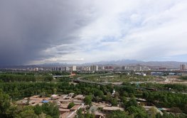
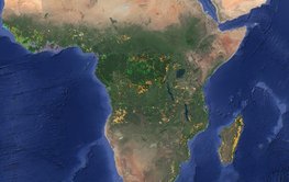
This is shown by studies on fossil pollen, spores and geochemical data from fossilised soils. They also provide insights into future developments under extreme climatic conditions.
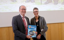
A scientific colloquium provided an opportunity to look back on a successful career and the development of geodesy - from the past to the future.
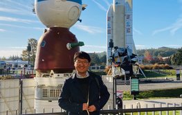
Ambassador Dr Imomudin Sattorov and his delegation learned about German-Tajik research projects and the GFZ's commitment in Central Asia and discussed the expansion of cooperation.
The ERC Consolidator Grant project “WIRE” will investigate the interaction of ultrafast electrons and plasma waves in the radiation belts around the Earth – also to protect satellites.
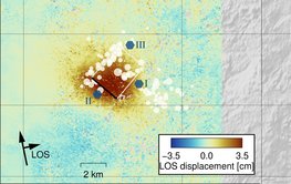
Study shows that the continuous discharge of industrial wastewater can trigger earthquakes in fault zones even after 10 years
With satellite data and machine learning methods, it is possible to identify and locate 15 forms of land use – from the cultivation of various crops to pastureland and mining.
Under the motto “Broadening Horizons”, the international scientists will spend three months at the GFZ – funded by the Helmholtz Information and Data Science Acade-my (HIDA).
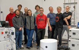
Organised by the GFZ Section 4.4 “Hydrology”, the community met to discuss the quality and potential fields of application of the new type of device, which can now also be used outdoors.
A year ago, the Earth shook in the Turkish-Syrian border region. The high number of victims was not expected. Q&A and relevant studies.
Harald Schuh retired. Maik Thomas succeeds him as Director of Department 1, Jens Wickert as Head (interim) of Section 1.1. Henryk Dobslaw becomes Topic 2 Director of the GFZ-Research Programme.




![[Translate to English:] Portrait photos of four men](/fileadmin/_processed_/9/0/csm_20240129_quattuorychon_2bc215bec5.jpeg)