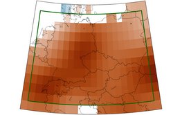
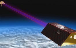
GRACE-FO data show: Slight recovery compared to drought years, but billions of tonnes of water still missing. New GFZ info portal for background, news & data of the GRACE-FO satellite mission.
You are a journalist and would like to receive our press releases via E-Mail?
Please send us a message
The third-generation of the successful satellite duo will continue to measure the Earth's gravitational field and thus provide unique insights into the global water cycle.
A study in Science on the erosion dependence of the CO₂ balance during weathering showed that there is an erosion rate at which CO₂ storage through weathering is maximised.
The ERC Consolidator Grant project “WIRE” will investigate the interaction of ultrafast electrons and plasma waves in the radiation belts around the Earth – also to protect satellites.
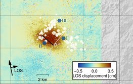
Study shows that the continuous discharge of industrial wastewater can trigger earthquakes in fault zones even after 10 years
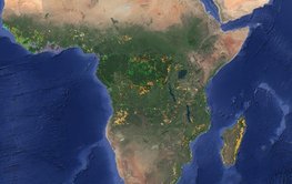
With satellite data and machine learning methods, it is possible to identify and locate 15 forms of land use – from the cultivation of various crops to pastureland and mining.
A year ago, the Earth shook in the Turkish-Syrian border region. The high number of victims was not expected. Q&A and relevant studies.
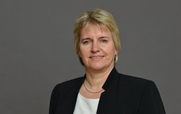
Liane G. Benning, Head of GFZ Section Interface Geochemistry, will be a member of the Federal Government's highest advisory body on overarching scientific issues for three years from 1 February.
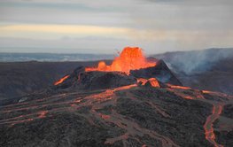
The analyses of the 2021 Iceland eruption shows: Machine learning and musicological methods can help to recognise precursors and phases of volcanic eruptions in seismic signals at an early stage
Fault roughness and stress heterogeneity control induced seismicity. This is important for hydraulic stimulation in reservoirs.


