


The outermost solid shell of the Earth, the Earth’s crust, is regarded by human beings as their foundation. To understand and survey this anthroposphere, as well as to make predictions about its evolution and use is the task of near-surface and applied geophysics. In doing so, it is equally important to understand the global processes of plate tectonics and what drives geodynamics, as well as it is to study small-scale phenomena that, for instance, may influence the decision how to utilize the subsurface (e.g., exploration, water, infrastructure). Equally, imaging, quantification, and assessment of geohazards at an early stage (e.g., mass movements, sinkholes, environmental changes) are challenging, the more if they occur in urban areas.
In order to explore the subsurface we apply various geophysical methods which are sensitive for different physical properties. In four working groups we concentrate on seismic and electromagnetic methods. In field experiments and on the computer - and supported by innovative developments of measuring instruments - these methods are further developed. With the help of simulations these methods are used for predictions of the subsurface structure of the subsurface and the involved processes.
Our aims and tasks
- Carry out basic and applied research as entity.
- Foster prediction capabilities with non-invasive measurements. Enhance exploration and monitoring for and during subsurface use.
- Aid assessment of natural hazards and georesources.
- Develop quantitative methods especially for urban areas and related to hazards.
- Provision of large infrastructure for the geo-community
Electromagnetic methods in a geoscience context
Electromagnetic research represents a broad field within Geophysics. In principle, the associated methods are used to determine the electrical conductivity of geo-materials as a physical parameter of the subsurface. The depth scale extends from the top soil layers (<1m) to the deep Earth's mantle (> 100km). According to the scientific target, a diverse set of methodological approaches can be applied on land, in water and the air.

Applied seismics
We use applied seismic methods to explore structures in the Earth's interior and map dynamic processes. Elastic waves that emanate from natural sources or propagate in the earth as ambient noise are observed and the velocity structure in the subsurface is inferred. To map near-surface processes as well as to characterize geodynamic structures, we work on the scale range from a few meters to several hundred km.
Distributed Acoustic Sensing- DAS
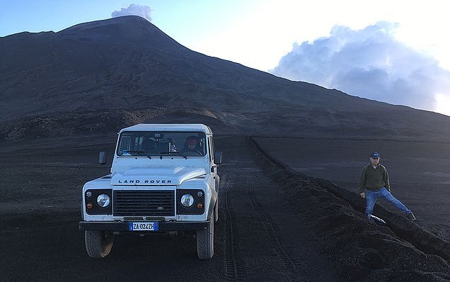
We apply fiber-optic sensing approaches, and specially Distributed Acoustic Sensing (DAS) for imaging and monitoring the subsurface in a wide range of environments at depth scales varying from 10’s of meters to several kilometers. By using both existing telecommunication networks (dark fiber) and fit-for-purpose installations in boreholes and trenches, we tackle a variety of geoscience challenges, including geothermal development, volcano monitoring and urban geophysics, among others.

Infrastructure, instrument development and field measurements
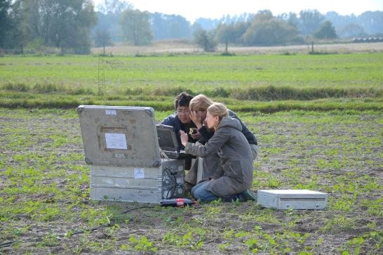
The "Geophysical Instrument Pool Potsdam (GIPP)" provides seismic and magnetotelluric instruments and sensors for projects of GFZ groups, universities and other research facilities. It is hosted by our section (GIPP). Large part of our activities is devoted to the development of scientific instruments, i.e. digital data recorders. The infrastructure and the innovative instruments form the base for our extensive field measurements.


