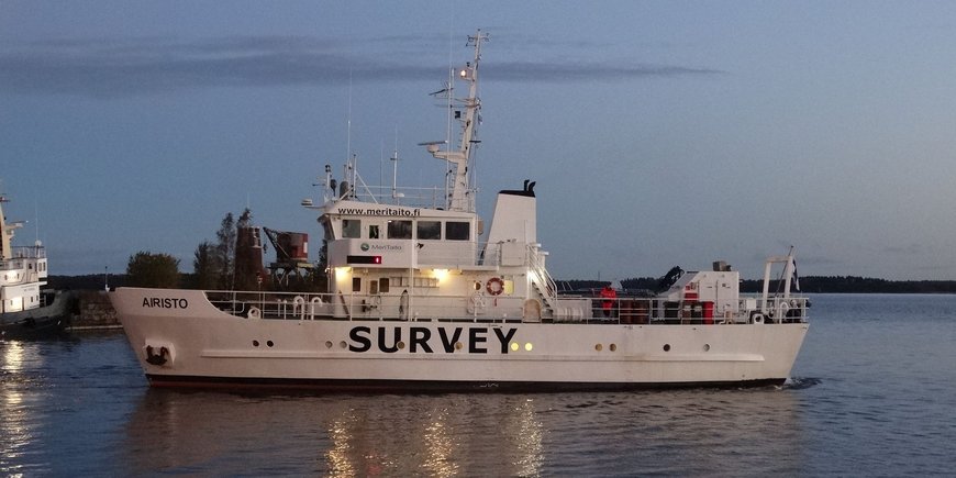
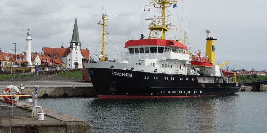
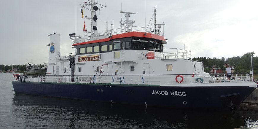
GFZ/Section 1.2 was cooperation partner of the EU project FAMOS (Finalising Surveys for the Baltic Motorways of the Sea). Among others, FAMOS included all aspects of hydrographic surveying in the Baltic Sea according to the recommendations of the Baltic Sea Hydrographic Commission (HSHC) and the Baltic Marine Environment Protection Commission (Helsinki Commission – HELCOM).
FAMOS was a joint project of hydrographic, maritime and geodetic institutions and agencies of almost all EU countries around the Baltic Sea. The aim of the project was to improve the safety on the motorways of the sea in the Baltics. Part of the FAMOS activities was estimation of a new gravimetric geoid as common and unified chart datum in this sea.
The FAMOS project was finalized already by 2019. But the calculation of the new gravimetric geoid (the Baltic Sea Chart Datum 2000) is still ongoing and is currently being completed under the direction of the HSHC Chart Datum Working Group.
GFZ’s contribution in the FAMOS project was conduction of shipborne gravimetry campaigns including the related data processing. The shipborne gravity measurements for FAMOS were done with the Chekan-AM gravimeter equipment.
Project Partners (selection):
- Swedish Maritime Administration (SMA), Norrköping, Sweden (project management)
- Lantmäteriet (LM), Gävle, Sweden
- Republic of Estonia Maritime Administration (EMA), Tallinn, Estonia
- Maritime Administration of Latvia (MAL), Riga, Latvia
- Technical University of Denmark (DTU), Lyngby, Denmark
- Finnish Transport Agency (FTA) - established in Finland
- Federal Agency for Cartography and Geodesy (BKG), Frankfurt a. Main, Germany
- Federal Maritime and Hydrographic Agency (BSH), Rostock, Germany
- Danish Geodata Agency (GST), Copenhagen, Denmark
- Lithuanian Maritime Safety Administration (LMSA), Vilnius Lithuania
- National Land Survey of Finland (FGI), Helsinki, Finland
- Tallinn University of Technology (TUT), Tallinn, Estonia
Project Duration:
- 2014 - 2019
Funding:
- The activities of the GFZ in the FAMOS project were 50% co-financed by the European Commission within the Connecting Europe Facility (CEF) / Transport Sector under the Grants No. INEA/CEF/TRAN/M2014/1027106 and INEA/CEF/TRAN/M2015/1124688.
Project related Publications:
- Liebsch, G., Schwabe, J., Westfeld, P., Förste, C. (2022): Improving the geodetic infrastructure for bathymetry and 3D navigation in the German exclusive economic zone of the North and Baltic Sea. - International Hydrographic Review, 28, 121-138. https://doi.org/10.58440/ihr-28-a17
- Ince, E. S., Förste, C., Barthelmes, F., Pflug, H., Li, M., Kaminskis, J., Neumayer, K., Michalak, G. (2020): Gravity Measurements along Commercial Ferry Lines in the Baltic Sea and Their Use for Geodetic Purposes. - Marine Geodesy, 43, 6, 573-602. https://doi.org/10.1080/01490419.2020.1771486


