Genetic methods provide important basis for decoding the evolutionary history of life on Earth
You are a journalist and would like to receive our press releases via E-Mail?
Please send us a message
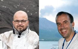
Two of the highest EU research awards for the GFZ: With ERC-Synergy Grants, Thomas Walter (r.) will research internal “rotting” of volcanoes & Jens Kallmeyer (l.) metabolism of primordial microbes.
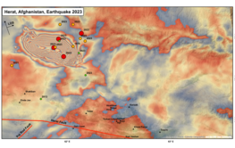
First analyses of satellite and GEOFON data give insights into the processes around the Herat fault, a region that is considered to be seismically rather inactive.
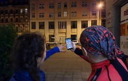
Counting lights for science: The research project Nachtlicht-BüHNE is looking for interested people to become Citizen Scientists in Sept & Oct to record the use of light in their surroundings via app
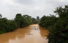
The simulations show how chemical groundwater quality in the Pra Basin develops. The approach can be transferred to other areas.
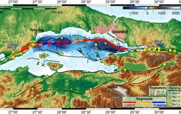
Distinct deformation pattern along the plate boundary below the Sea of Marmara: unique new insights into earthquake hazard and seismic risk for a megacity
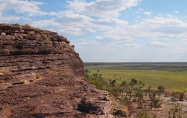
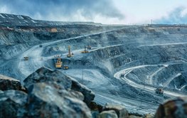
Modeling suggests that volcanic eruptions of diamond-bearing rocks are caused by the breakup of Earth plates
The EU project SUBMERSE aims to use submarine cables of existing research data networks for novel research approaches - as DAS or SoP sensors to monitor earthquake zones, volcanoes or oceans.
New study identifies shift to an El Niño-like phase between 1600 and 1900 A.D. by sediment analysis of a Philippine lake
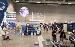
In the City Cube of Messe Berlin, host GFZ welcomes ~5,000 participants from over 100 countries to one of the world's largest geoscientific conferences.


![[Translate to English:] A green lake surrounded by green forested mountains, a volcano in the background.](/fileadmin/_processed_/2/e/csm_20230703_PM_Bulusan-Lake_0b_Volcano_Natural_Park_Wiki_66ff13d86f.jpeg)
